Red Flag Warning Activates for SoCal as Winds Hit 45 mph
Santa Ana winds and humidity levels below 20% will create high fire risk in specific Los Angeles and Orange County areas through Saturday afternoon.
By Lucas Sheridan ·
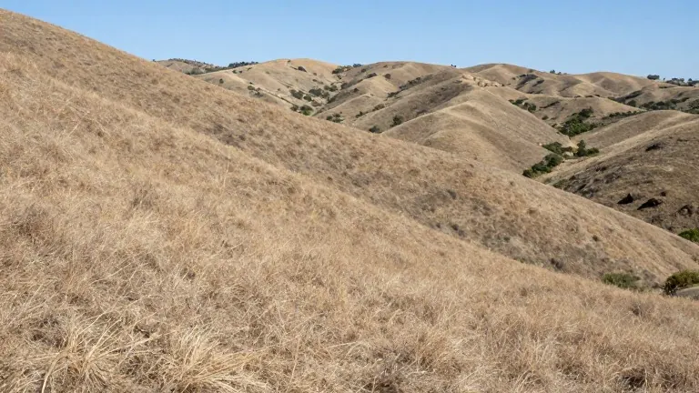
Southern California faces a weekend of elevated fire risk as strong Santa Ana winds combine with dropping humidity levels. A Red Flag Warning will take effect for selected areas in the Los Angeles basin on Saturday.
The warning covers the Santa Clarita Valley, the Santa Monica Mountains, the Santa Susana Mountains, and the western San Gabriel Mountains. It remains in force from 2 a.m. to 6 p.m. on Saturday. Meteorologists forecast northeast winds of 20 to 30 mph during this period, with gusts reaching 45 mph or higher. Relative humidity is expected to fall between 8% and 20%.
Temperatures across Los Angeles County will rise above normal averages. Coastal and valley zones are predicted to reach the 70s and 80s Fahrenheit on Saturday. Many regions will run 5 to 10 degrees warmer than usual on both Saturday and Sunday. High pressure systems and onshore flow drive this warming trend.
Orange County experiences similar conditions as onshore flow strengthens Friday and Saturday. Weak to moderate Santa Ana winds will impact the area, with gusts of 25 to 40 mph possible on Saturday. A 10% chance exists for gusts between 35 and 50 mph. Temperatures in Orange County will hit the low to mid 80s Fahrenheit on Friday and the mid to high 80s over the weekend. Humidity may drop to 10% in some valleys.
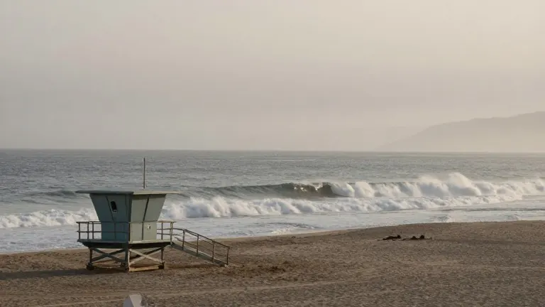
A Hazardous Surf Advisory is also active until Tuesday morning. It covers Catalina Island, Malibu, and Los Angeles County beaches. Dangerous rip currents and breaking waves of 4 to 6 feet are expected. High tides will rise each morning, peaking on Sunday and Monday at heights of 7.2 to 7.6 feet.
Windy and dry conditions are expected to persist through Sunday. Onshore flow weakens by Tuesday, bringing a gradual cooling trend. Temperatures remain above normal until Wednesday.