Tesla's Fleet: A Shift Toward Self-Contained Mapping
Tesla's VP of AI has confirmed that the company is developing its own proprietary mapping technology to resolve persistent inaccuracies within its Full Self-Driving software.
By Mykola Bondarenko ·
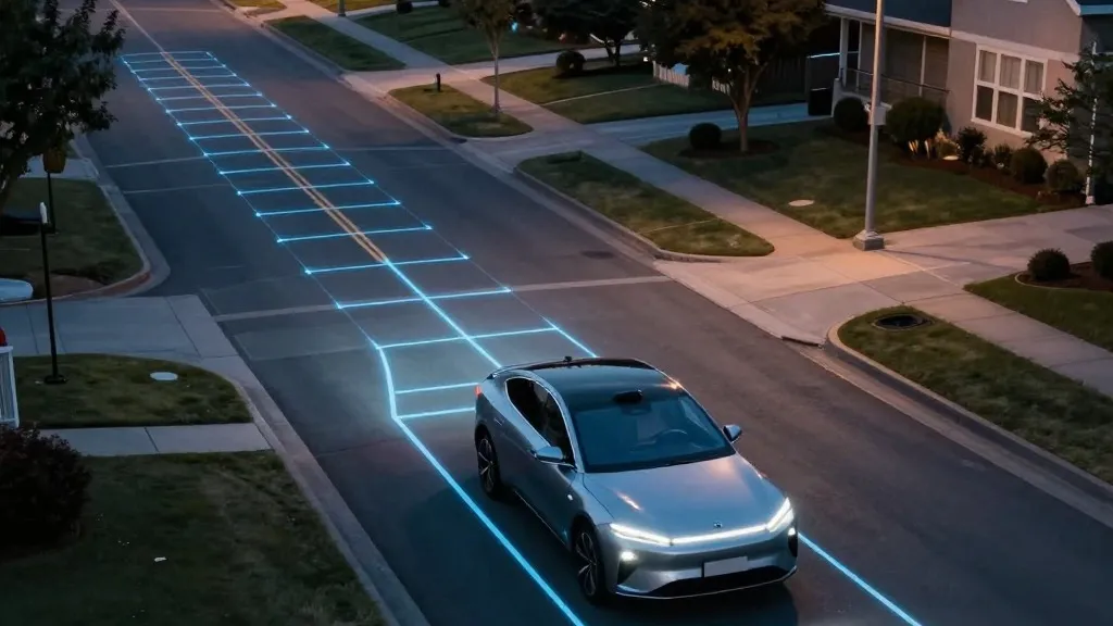
Tesla is pivoting to construct its own proprietary mapping infrastructure to address persistent failures in its Full Self-Driving (FSD) suite, a move confirmed by Ashok Elluswamy, the company's VP of AI. During the Q3 2026 earnings call, Elluswamy detailed plans to develop a new AI-based mapping and navigation architecture. This system is designed to correct specific operational shortcomings, including the inability to accurately read speed limits, navigate parking scenarios, and select optimal routes. The executive stated that Tesla 'shouldn't be depending on external people's maps,' signaling a departure from reliance on third-party providers to ensure the safety and accuracy of its autonomous driving features.
The effort marks a significant reversal for the company's leadership, particularly regarding the use of high-definition mapping technology. In 2015, Tesla initially began creating high-precision maps with '100 times the level of granularity' of standard navigation data. However, by the 2019 Autonomy Day presentation, Elon Musk had characterized the reliance on high-precision lane maps as 'a huge mistake' and a 'really bad idea,' arguing that such dependencies make self-driving systems 'extremely brittle.' The company's current strategy to build a map layer from fleet data directly contradicts the long-standing narrative that self-driving can be achieved exclusively through vision and artificial intelligence without external environmental data.
Tesla's inability to reliably interpret speed limit information has been a recurring source of scrutiny. A report released last month by a Belgian road safety organization found that FSD exceeded the speed limit in 55% of 30 km/h zones tested in Brussels, averaging 44 km/h, with the vehicle's display frequently showing a 50 km/h limit. Furthermore, the National Highway Traffic Safety Administration (NHTSA) is currently weighing an investigation into claims that Tesla Robotaxis speed through active school zones, a probe that would cover approximately 1,000 Model Y and Cybercab vehicles. These incidents underscore the difficulties the system faces in processing basic road signage and adhering to established traffic laws.
The development brings Tesla's operational methodology closer to that of its competitor, Waymo. Waymo maps a city by driving sensor-equipped vehicles through the area prior to launching service, maintaining these maps as its fleet operates. Tesla is now describing a similar process where vehicles collect environmental data to feed a Tesla-built map, with the primary distinction being Waymo's use of lidar sensors. While Tesla has historically dismissed lidar and detailed maps as unnecessary for a true self-driving system, the company is now implementing a fleet-built map that provides the very environmental data its vision system cannot reliably determine on its own.
Elluswamy indicated that this mapping technology will begin handling the start and end of trips with the release of FSD v15. Over the subsequent months, the system is expected to take over navigation, parking, and destination handling. The company's history with automated driving features remains complex; while Tesla has operated a Robotaxi service in geofenced areas for some time, the rollout of unsupervised FSD in consumer vehicles has been scheduled for Q2 2027. The construction of a proprietary map to facilitate this transition aligns the company with standard industry practices regarding the use of detailed environmental data for navigation.
Source: Electrek